
Starting a Santa Maria Neighbor Lookup
A Santa Maria neighbor lookup begins with one address and expands only through public, address-keyed records. County GIS shows adjacent parcel shapes and APNs. The Assessor supplies parcel details. The Recorder can add title parties for selected parcels. eTRAKiT can add dated permit context. Elections supplies precinct or district geography, not an open list of people on a block.
| Block source | What it shows about nearby parcels | Access and limit |
|---|---|---|
| County GIS parcel layer | Adjacent shapes, APNs, situs city and ZIP, acreage, and boundary layers | Free map and feature service; no household roster |
| County Assessor | Parcel, situs, value, transfer, use, and map details | Free address/APN lookup; no public owner-name query |
| County Recorder | Recorded parties and instruments for a selected parcel | Name or document index; historical cutoff and copy limits |
| Santa Maria eTRAKiT | Permit, inspection, address, and project-party context | Public property search; request files where needed |
| Election geography | Precinct, district, and certified aggregate results | Public totals; no voter-by-block web roster |
| Library reverse directories | Past listed adults or subscribers by street and number | Special Collections and microfilm; exact run needs confirmation |
Owners, recorded parties, permit applicants, and occupants are not interchangeable labels. The public record may connect a parcel to a title party while saying nothing about who is present that day. A neighbor lookup should state the source relationship instead of flattening those differences.
For a clean block note, list the target address, map date, adjacent APNs, the custodian for each follow-up, and any negative result. This makes a Santa Maria neighbors search auditable without turning it into a roster.
Clicking Parcels Around Santa Maria Addresses
The County GIS viewer has no need for a guessed household radius. Locate the target parcel, zoom until boundaries and labels are clear, click the target, and save its APN. Pan to parcels on both sides and across the street. If a formal buffer tool is not available, manual adjacency is the defensible method. Use measure or select controls for navigation only.
The public feature layer exposes OBJECTID, APN, situs street, city, state, ZIP, acreage, land use, an Assessor link, GlobalID, and edit metadata. It supports pagination, ordering, distinct values, extent or centroid, and distance queries with a 2,000-record maximum. Display metadata may mention an owner field, but the public schema does not expose ownerName.
Confirm every adjacent APN in the County Assessor parcel lookup. Then use the County public parcel feature layer for the map geometry.
A useful block flow is: address -> target parcel -> APN -> adjacent polygons -> Assessor details -> selected Recorder or City eTRAKiT records. Each arrow adds a different kind of evidence.
Mapping a Santa Maria Block by APN
A block-level neighbor lookup should stay tied to parcel geometry. Start with the target address, confirm its APN, and expand to the polygons that share a boundary or face the same street segment. Numerical addresses can mislead because corner parcels, multiunit buildings, irregular lots, and cul-de-sacs break a simple sequence.
- Locate the target address in County GIS and save the APN, situs, acreage, and jurisdiction layer.
- Click adjoining parcels on both sides and across the street. Record every APN separately rather than treating a map label as a person.
- Verify each APN in the Assessor and note that the public result provides parcel facts without an owner-name field.
- Use the Recorder for selected title parties or eTRAKiT for dated permit context when those records answer the question.
- For the full named-street chain, switch to the Santa Maria street directory address workflow.
A GIS block is a map of parcels, not a map of household members. The distinction matters most at multiunit and corner properties.
For each selected parcel, retain the APN, situs, jurisdiction, map layer, and lookup date. If the goal is a title question, move to the Recorder. If it is a permit question, test City eTRAKiT or the County route. If it is a community question, use a public meeting or civic contact and do not request a private membership list.
Why Santa Maria Numbers Mislead Neighbors
Street numbers do not guarantee parcel adjacency. Corner lots can face two roads. Multiunit parcels can share one number. Irregular subdivisions, cul-de-sacs, older rural routes, and annexation can break a simple even-and-odd walk. Use the GIS polygon and APN rather than assuming that the next number is the next neighbor.
Address forms add another trap. Santa Maria eTRAKiT expects one-letter directionals, while the Assessor may ask for a street name without its suffix. Preserve the old form from a directory or deed, then test the normalized form in the current portal. A street guide, recorded map, or newspaper notice can explain a gap.
What Santa Maria Election Maps Say
County Elections can place a block in a precinct, district, or certified result area. Those aggregate materials help explain civic geography and can show registration or turnout context without exposing how a person voted. California's voter-status form authenticates the requester and is not a public by-street neighbor directory.
The Santa Barbara County Elections resources capture below represents the public election layer. Individual voter data requires a permitted request, a declared purpose, and the official application. Protected identifiers, signatures, and Safe at Home addresses remain shielded.
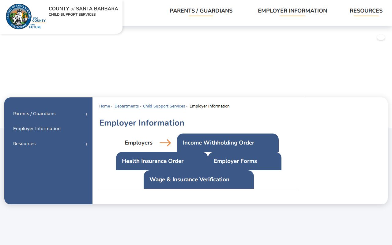
Election geography can tell how a block is administered. It cannot tell who is present at each parcel or how any person cast a ballot.
A permitted voter-file request can include active voters, an optional inactive file, an election history file showing date and method but never ballot choice, and a district file. The application asks for the requester, organization, purpose, county, and other required details. That controlled route is fundamentally different from a public web list of Santa Maria neighbors.
Santa Maria Civic Contacts, Not Member Rolls
The research did not locate a comprehensive official neighborhood-association directory or a public member roster for Santa Maria. The City's civic maps, council-district material, neighborhood meeting pages, and a verified association's own public contact page are safer community-geography substitutes. A listed officer or meeting contact does not represent every person on a block.
| Public contact layer | What it can provide | What it does not establish |
|---|---|---|
| City civic maps | City limits, districts, and public geography | Private membership or household identity |
| Council or neighborhood meeting page | Meeting time, public agenda, or contact route when published | A complete roster of residents |
| Association public page | Public officer, contact, or geographic scope when verified | Membership, attendance, or consent to contact |
Use the City of Santa Maria civic maps for public geography. Community records can enrich a neighborhood history, but they should not be used to infer a private member list.
For a public meeting, council item, or city-held contact record that is not posted, use the Santa Maria City Clerk public-records route. Describe an existing identifiable record, date range, address, or district rather than asking the City to create a neighbor roster. The Clerk generally makes a determination within ten days, with a limited unusual-circumstances extension, while exemptions still apply.
An agenda or minutes can show an association name, district, or public contact without proving membership. Keep the request to the published record and let the custodian explain any exception. That distinction preserves civic access and personal privacy.
Protected Addresses Around Santa Maria Blocks
Safe at Home gives qualifying victims and specified reproductive-health participants a substitute mailing address. Utility accounts, delivery records, DMV addresses, and private member lists are not public block layers. A map can show a parcel while the person connected to it remains protected or not publicly indexed.
California's data-broker registry and deletion system provide a separate route for commercially held information. The California DROP platform capture below illustrates the deletion channel. Use the official process and avoid sending identity documents to an unverified search provider.
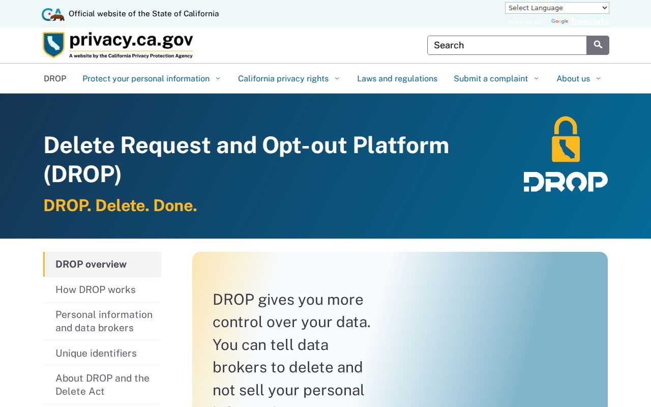
The Attorney General's data-broker registry guidance explains the commercial privacy context. It does not change the public status of a County parcel or give a neighbor lookup permission to defeat a confidentiality program.
The California Consumer Privacy Act and California Privacy Rights Act guidance gives covered consumers rights to know, delete, correct, limit sensitive-data use, and opt out of sale or sharing, subject to exceptions. Those rights address covered businesses and data brokers. They do not turn a GIS parcel into a private household file or authorize a search around a protected person.
Privacy Limits on Santa Maria Neighbors
A public block map cannot show every person nearby. Non-owner occupants, household members, private utility accounts, DMV information, protected mailing addresses, and ballot choices remain outside the ordinary parcel chain. Commercial neighbor tools compile feeds and can misidentify people or confuse a parcel with a household.
Compare the official and commercial categories before relying on either:
| Source type | Strength | Limit |
|---|---|---|
| County parcel and deed records | Named custodian, instrument, APN, and date | Title party is not necessarily an occupant |
| GIS and civic maps | Repeatable public geography | No household or membership roster |
| Commercial neighbor products | May combine many feeds into a lead | Stale data, merged identities, and unclear provenance |
Lawful use. Use a Santa Maria neighbor lookup for personal safety awareness, civic geography, reconnecting, or lawful community research. Do not use a result to watch, stalk, harass, intimidate, threaten, impersonate, or harm anyone.
When a public result seems wrong, return to the custodian with the APN, instrument, permit, or election record reference. Do not fill the gap with a guessed occupant, a scraped roster, or a protected address.
A block map is most reliable when it says what is known, what is inferred, and what remains private. That distinction protects both the research record and the people connected to it.